
Preparing for severe weather
in British Columbia
British Columbia faces a diverse range of natural catastrophes, from devastating floods and wildfires to the ever-present earthquake risk.
Acera Insurance is here to help you prepare.
Here’s what you should know about protecting yourself from severe weather in British Columbia.
If you have any questions, please contact a member of our team or visit any of our British Columbia branches:
- Burnaby
- Kamloops
- Kelowna
- Lake Country
- Nanaimo
- Penticton
- Prince George
- Salmon Arm
- Surrey
- Victoria
- West Kelowna
British Columbia floods
Flooding is the most frequent and costly natural disaster in British Columbia, particularly in the spring and fall when heavy rainfall and snowmelt increase the risk.
Flooding in BC is commonly caused by:
- Atmospheric rivers bringing heavy rainfall
- Rapid snowmelt from mountain regions
- Rising sea levels and storm surges along the coast
How big of a risk are floods in British Columbia?
The geography of BC makes flooding a real concern. In fact, the Government of British Columbia’s hazard map identifies flooding as a risk in nearly every region of the province.
Some of the most recent devastating floods in the province happened in southern BC in 2021, causing more than $675 million in insured losses. In 2024, the floods in southwestern BC caused $120 million in insured losses.

How to prepare for floods in British Columbia
Acera Insurance’s flood preparedness guide provides expert insights to help you protect your home, business or farm from rising waters.
Protect your home and vehicles from floods
Protect your business from floods
Protect your farm from floods
Related reading:
How to stay safe during a flood
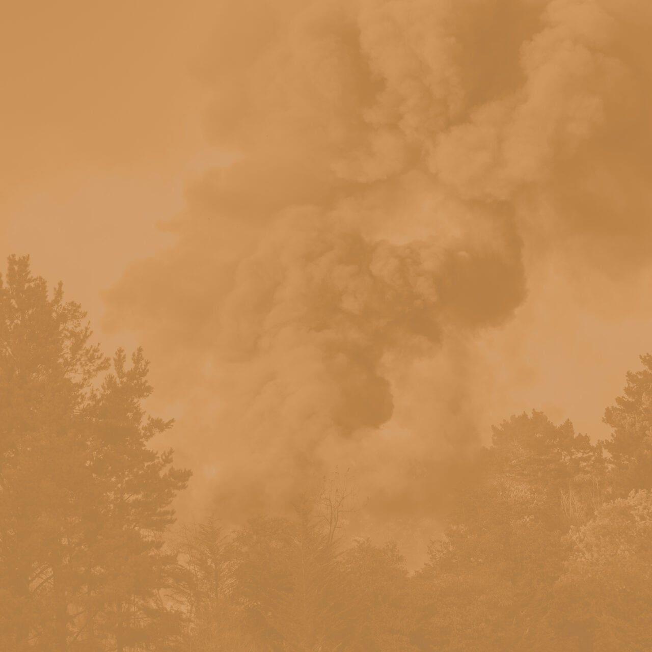
British Columbia wildfires
Wildfire season in BC typically runs from April to October, with the peak occurring in July and August. Wildfires are becoming increasingly severe due to hotter, drier summers.
How big of a risk are wildfires in British Columbia?
BC is one of Canada’s most wildfire-prone provinces. On average, BC experiences nearly 1,500 wildfires a year, particularly in the interior and northern regions, including near populated areas like Kamloops, Kelowna, Vernon, Penticton, Revelstoke, Nelson, Prince George and Fort St. John.
Wildfires also present a risk across the entirety of Vancouver Island.
While wildfires are less common in the lower mainland, the Rutherford Creek wildfire near Pemberton in 2024 served as a stark reminder that forested areas near the coast are also at risk.
Wildfires across BC have resulted in mass evacuations and caused significant damage to property. For example, notable fires near White Rock Lake, Lytton, the Okanagan and Shuswap caused more than $900 million combined in insured losses between 2021 and 2023.

How to prepare for wildfires in British Columbia
Acera Insurance’s wildfire preparedness guide provides valuable guidance to help safeguard your home, business or farm from wildfires.
Protect your home and vehicles from wildfires
Protect your business from wildfires
Protect your farm from wildfires
Related reading:
How to stay safe during a wildfire
British Columbia earthquakes
British Columbia is the most earthquake-prone region in Canada, as it lies along the Cascadia Subduction Zone. While major earthquakes have been rare, tremors do pose a significant risk to homes, businesses and infrastructure.
How big of a risk are earthquakes in British Columbia?
While earthquakes are common in BC, most go unnoticed. But the potential for a severe earthquake is a concern, with the Government of British Columbia saying a damage-causing earthquake is expected at least once every 10 years.
The west coast of British Columbia is most at risk for an earthquake. This includes populated areas across Vancouver Island (including Victoria, Nanaimo, Duncan, Port Alberni and Courtney) and the lower mainland (such as the Greater Vancouver Regional District and Whistler).


How to prepare for earthquakes in British Columbia
Acera Insurance’s earthquake preparedness guide provides key recommendations to help you secure your property and protect yourself from seismic events.
Protect your home and vehicles from earthquakes
Protect your business from earthquakes
Protect your farm from earthquakes
Related reading:
How to stay safe during an earthquake
Are you ready for severe weather in British Columbia?
Severe weather is unpredictable, but preparation can make all the difference.
Speak with an Acera Insurance advisor today to learn more about home, auto, business and farm coverage options for floods, wildfires and earthquakes.
You can also visit a member of our team at any of our British Columbia branches: